Darukaa.earth
Darukaa.earth is a next-generation environmental intelligence platform that aggregates real-time satellite data, carbon metrics, and biodiversity indexes to help enterprises measure, track, and act on their ecological footprint.
(Scroll down)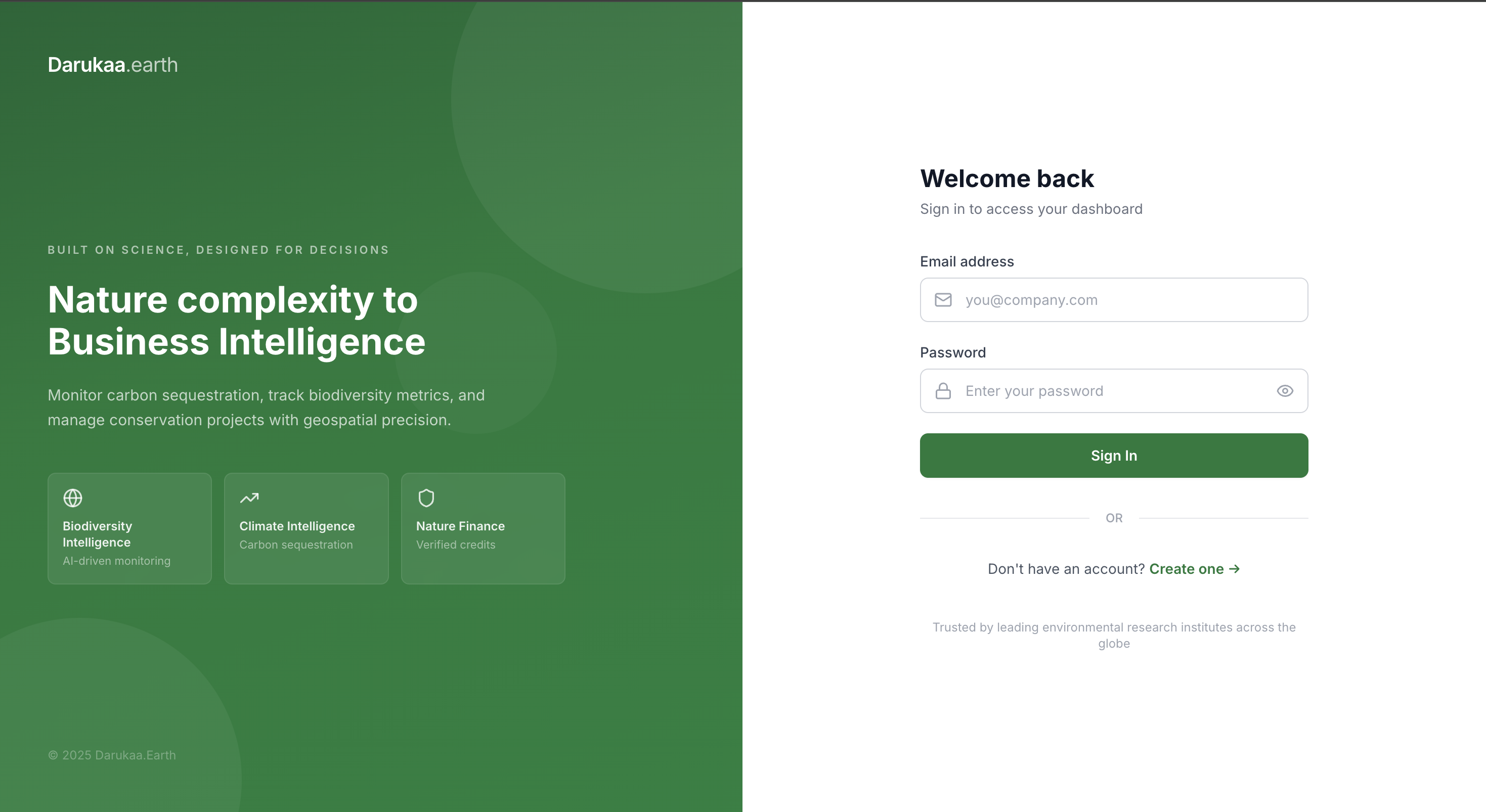
(Intro)
With ESG reporting becoming a regulatory requirement for enterprises across the EU and Asia, Darukaa.earth was built to make environmental data actionable — not just reportable.
I architected the full-stack platform: real-time satellite data ingestion pipelines, an interactive geospatial dashboard, carbon credit tracking, and a public API for third-party ESG integrations.
The result is a production-grade environmental intelligence platform trusted by sustainability teams at forward-thinking enterprises.
Platform Engineering Summary
Project overview
Darukaa.earth is a next-generation environmental intelligence platform that aggregates real-time satellite imagery, carbon flux data, and biodiversity indices to give enterprises a single, trusted source of ecological truth.
Built as the ESG reporting landscape tightens globally, the platform enables sustainability teams to move from manual, consultant-driven reporting to continuous, automated environmental monitoring.
The problem
Enterprise sustainability reporting is broken. Teams are stitching together data from satellites, consultants, Excel sheets, and third-party APIs — none of it in real time, none of it auditable at the level regulators increasingly demand.
Darukaa.earth was built to fix that: a platform where satellite-derived environmental data flows in, gets normalised, and flows out as audit-ready metrics for CSRD, GRI, and TCFD frameworks.
Data architecture
The ingestion layer connects to Sentinel-2, Landsat, and MODIS satellite archives via the Copernicus Data Space Ecosystem and NASA Earthdata APIs. Raw spectral data is processed into NDVI (vegetation health), land-use change detection, and carbon flux estimates.
A streaming pipeline (Kafka + Apache Flink) normalises incoming satellite passes into time-series metrics stored in InfluxDB, enabling sub-minute freshness on key environmental indicators for monitored land parcels.
Key features
- Real-time satellite-derived NDVI, carbon, and deforestation monitoring.
- Interactive geospatial dashboard with parcel-level drill-down.
- Automated CSRD, GRI, and TCFD-aligned ESG report generation.
- Carbon credit registry integration for verified offset tracking.
- Public REST API for third-party ESG platform integrations.
- Audit trail with tamper-evident data provenance for regulatory submissions.
Outcomes
- Real-time environmental monitoring replacing quarterly consultant reports.
- Automated ESG report generation cutting reporting effort by 80%.
- Carbon credit tracking integrated with verified registries.
- Sub-minute data freshness on key ecological indicators.